

Special offer : 50% off for a limited time
Please find the user manual on this web page:
http://www.xample.ch/air-navigation/air-navigation-support/
To contact us regarding bugs, crash and other issues with the software, please use the support center:
http://xample.desk.com/
Thanks!
Moving map GPS for the price of a dinner!
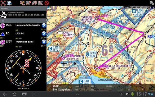
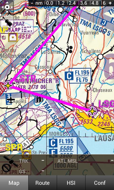
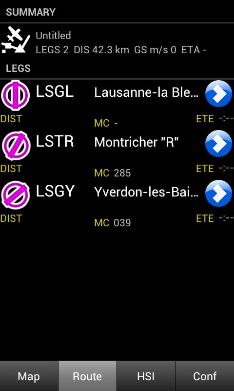
Air Navigation for Android is a real-time aircraft navigation application with integrated flight planning. Using the GPS receiver (integrated or external) and accelerometers of the Android it can emulate different types of real IFR or VFR aircraft navigation instruments. Using the navigation plan editor, you can prepare and store navigation plans and use them in the cockpit with the moving map.
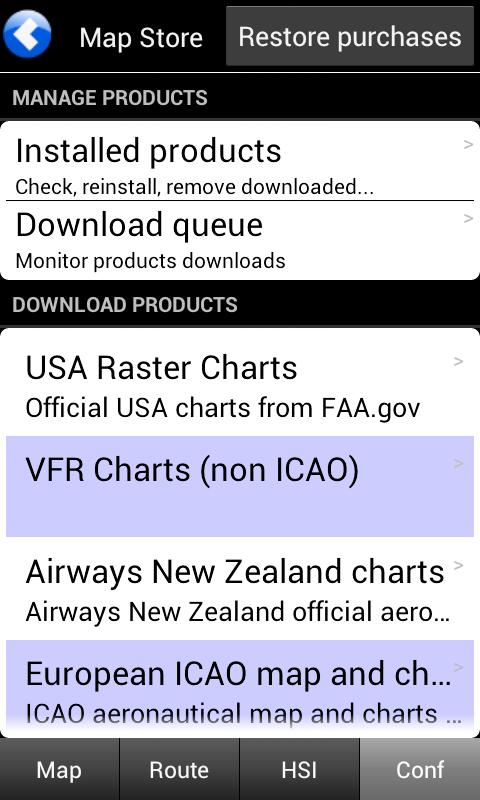
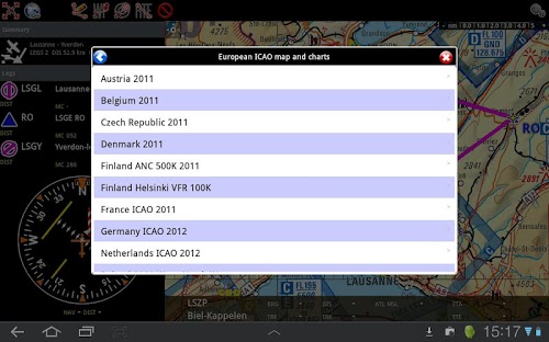
It contains free maps of the entire world as well as official aviation charts for many countries. The application costs a fraction of the price of a dedicated portable aviation GPS.
Worldwide database
Air Navigation comes fully loaded with worldwide aviation waypoints (more than 160000). The database also contains airspace information for many countries. By using the database and maps, you can quickly plan your route, distance and estimated time of flight.
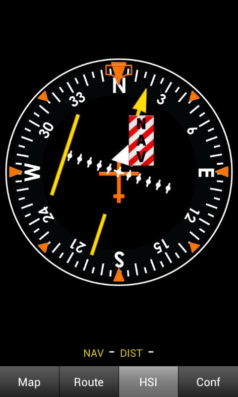
Real aircraft instrument HSI
Air Navigation imitates real aircraft instrument, gathering information from GPS to create realistic image. With Air Navigation you will not only get a moving map but also realistic images of the instrument HSI.
Скачать бесплатно с android-help.ru:
Что можно сделать?
1. Попросить выложить это приложение на Форуме.
2. Спросить об этом приложении в Вопросах.
3. Попробовать зайти позднее. Мы уже знаем о проблеме с этим приложением и устраним ее в ближайшее время.
4. Написать комментарий с описанием проблемы.


 Опубликовано в рубрике
  Тэги:
Тэги: